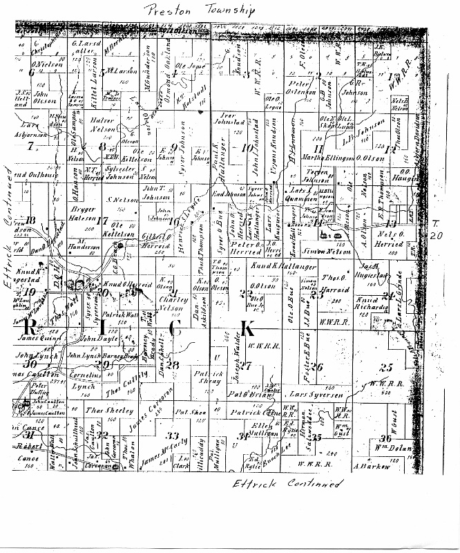
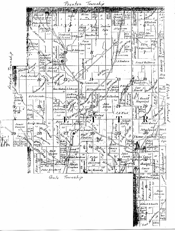
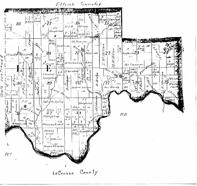
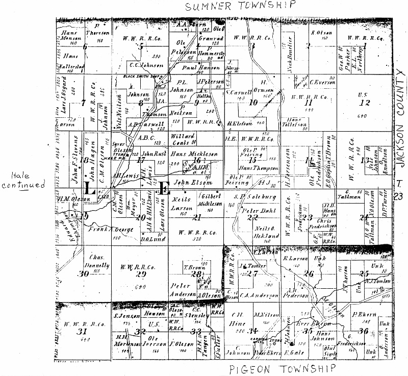
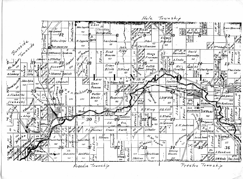
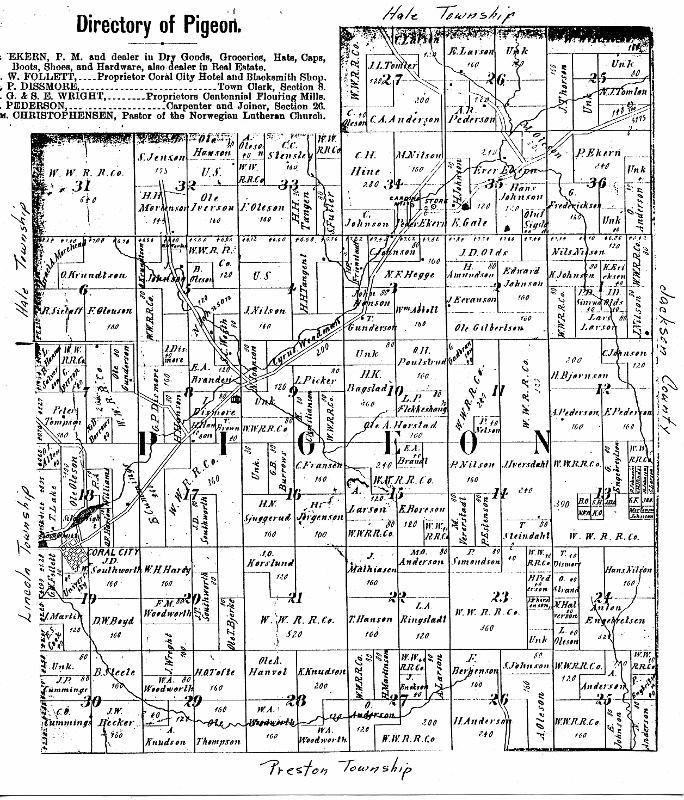
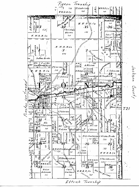
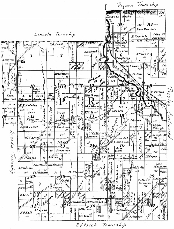
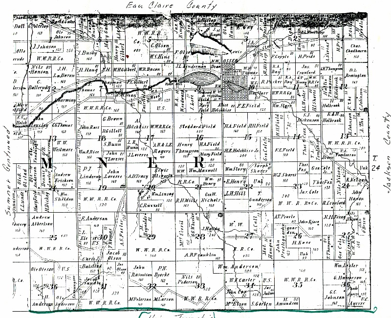
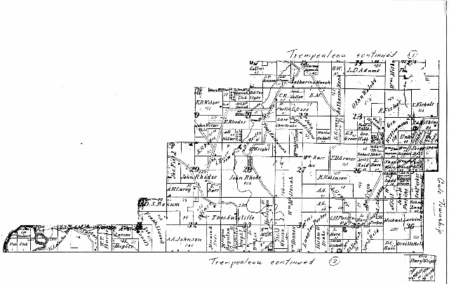
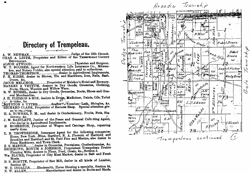
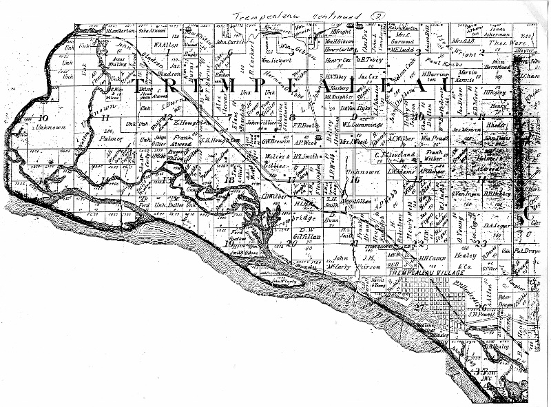
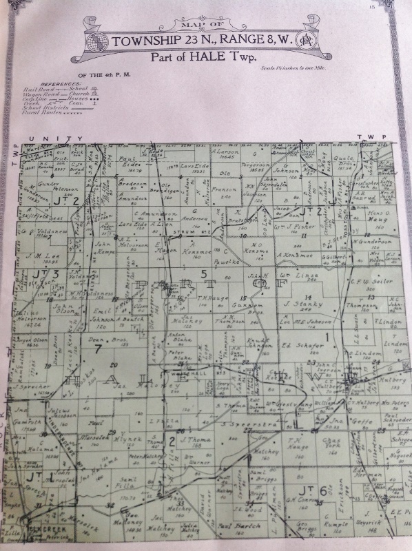
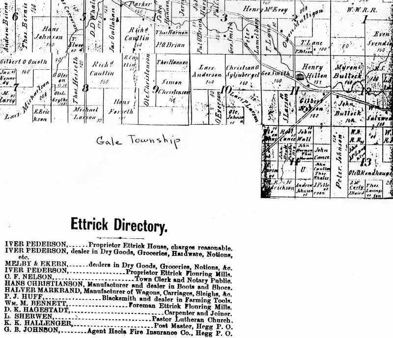
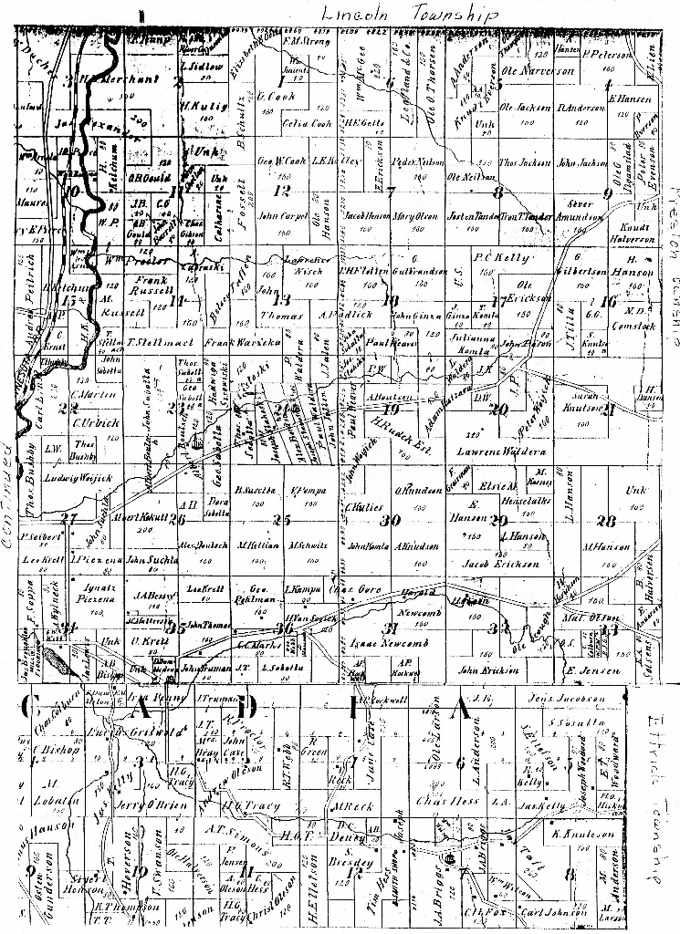
The 1877 Tucker Map is one of the earliest maps of the county to show landowners. Pen and ink drawings by an unknown artist adorned the sides of the map. In 1877 the Towns of Chimney Rock and Unity had not been formed yet. The Albion map shows a small area called New Chicago–this later became Eleva. The map makers apparently had a hard time spelling some of the Norwegian and Polish names.
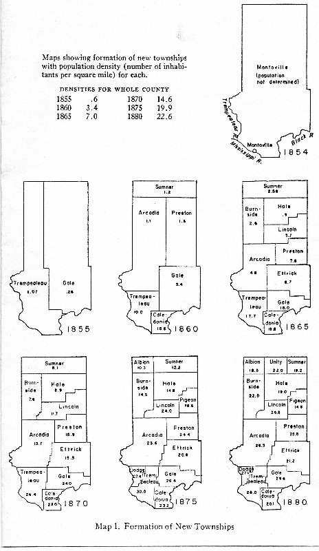
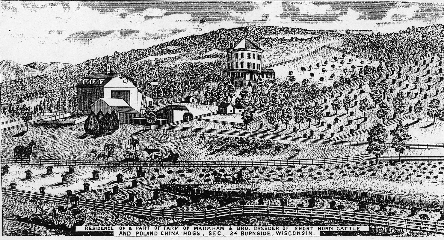
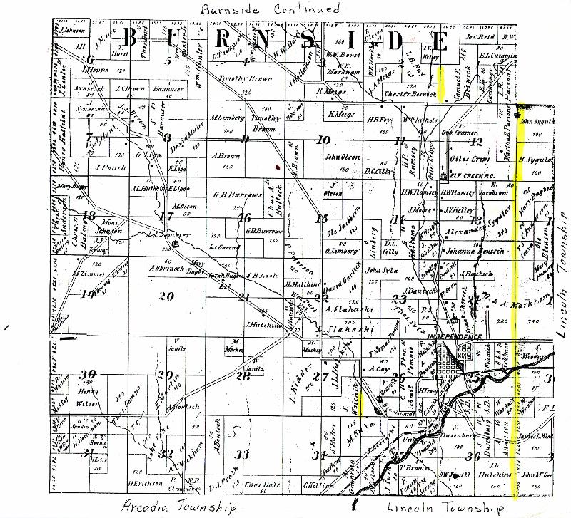
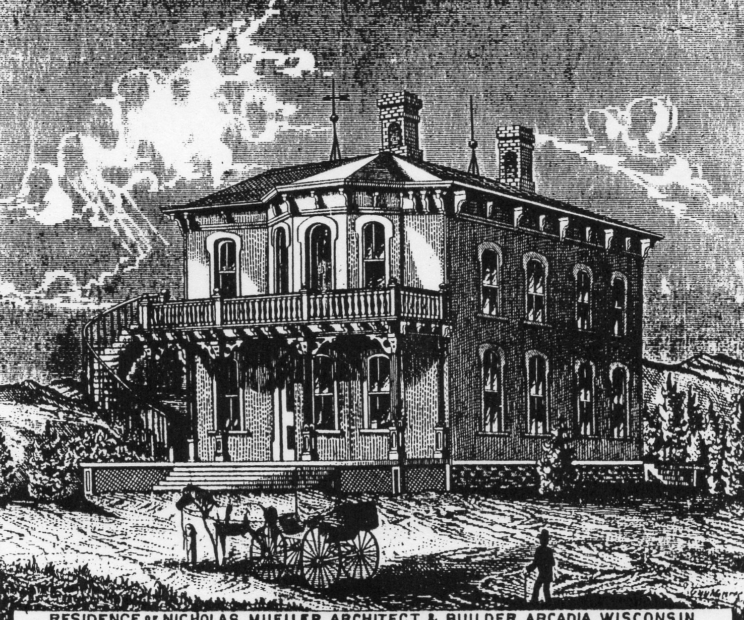
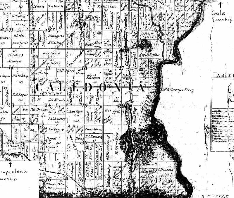
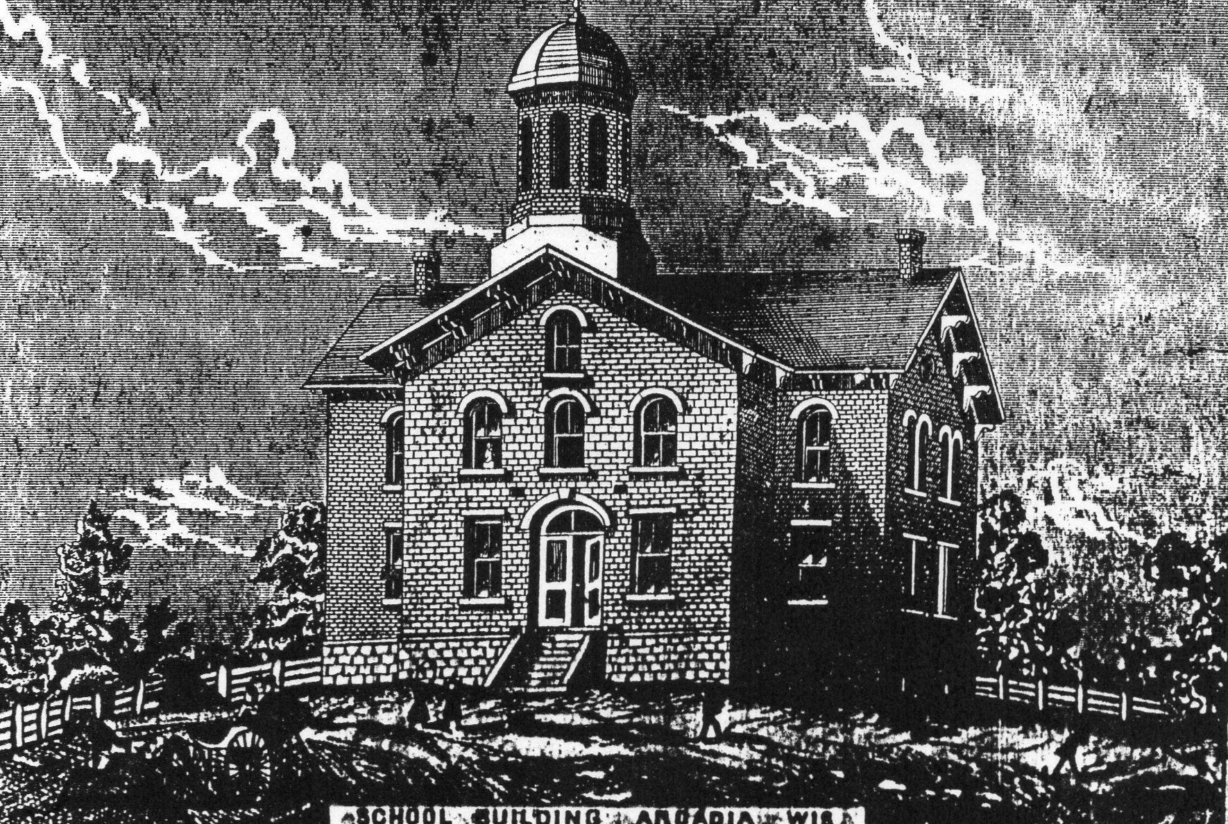
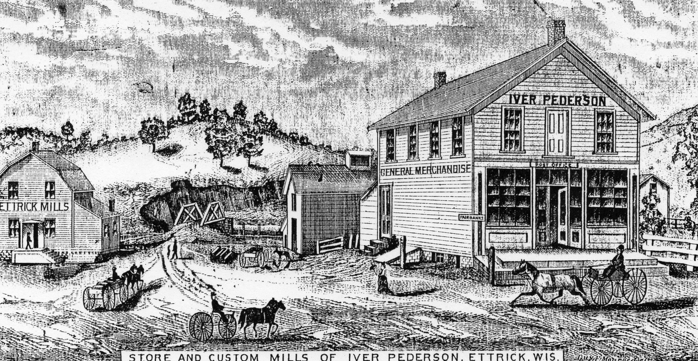
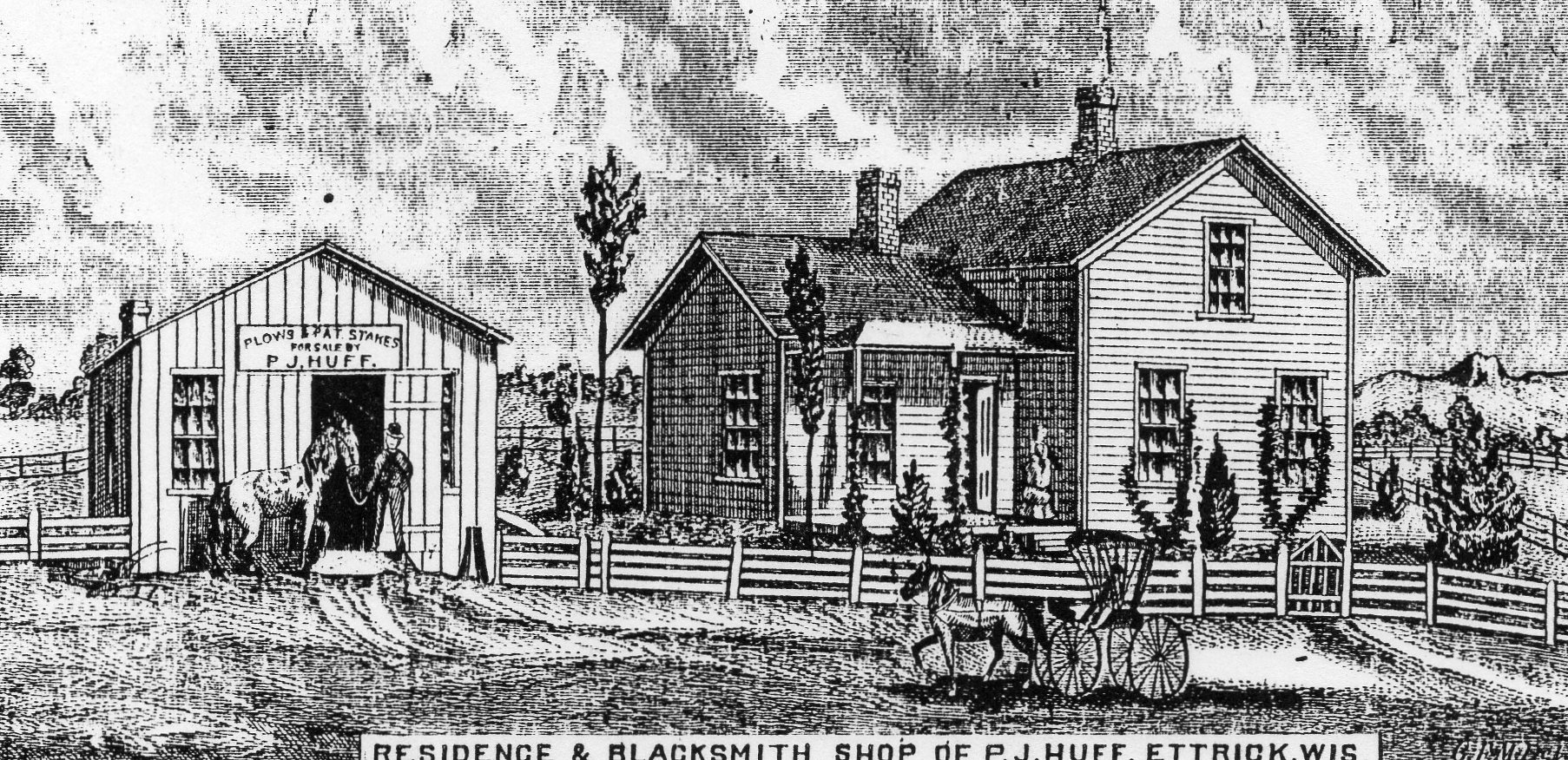
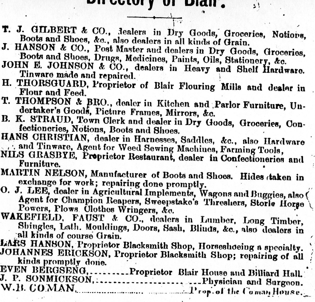
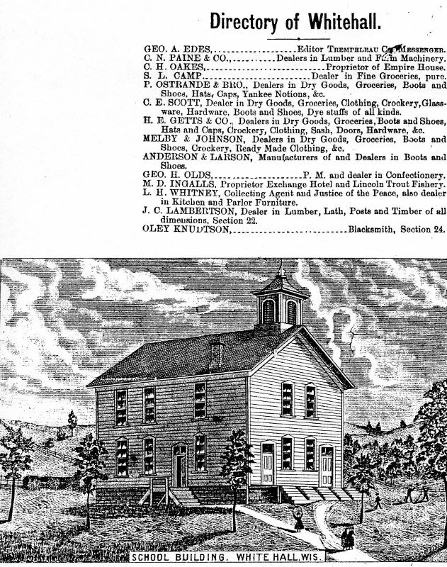
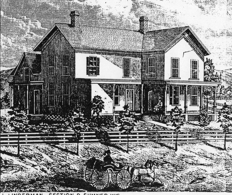
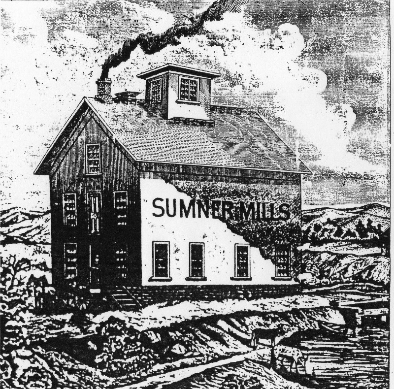
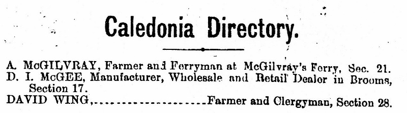
Formation of Towns in Tremp CtyDirectory of Galesville and Dan Kennedy FarmMarkham Farm in BurnsideBurnside NorthBurnside SouthEttrick EastEttrick WEstGale EastGale WestHale EastTown of LincolnPgeon and Directory of Pigeon FallsPreston EastPreston WestSumner EastSumner WestTrempealeau EastTrempealeau North & DirectoryTrempealeau WestHale WestHome of Nicholas Mueller, ArcadiaTown of Caledonia McGilvray’s Ferry was originally platted as the village of Caledonia but the log drives down the Black River put an end to the ferry and prospects of the village.Arcadia Public SchoolDowntown EttrickEttrick Residence and Blacksmith shop of PJ HoffEttrick Directory and South halfBlair Directory Town of PrestonWhitehall-Public SchoolOsseo Town of Sumner Home of Stoddard FieldSumner-JL Linderman HomeSumner Mill
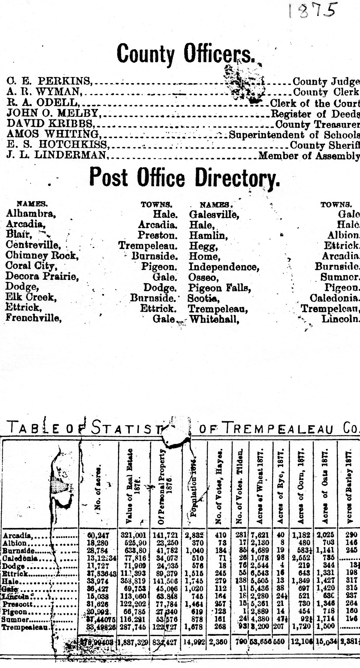
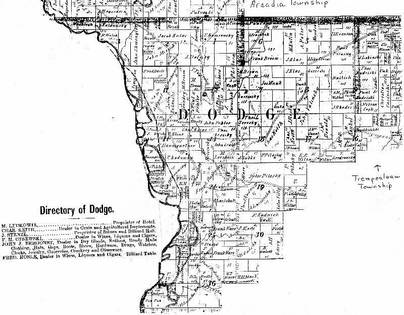
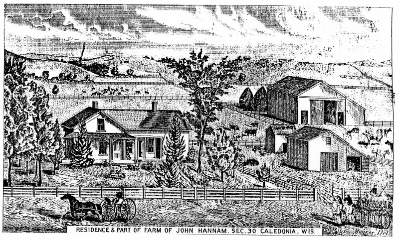
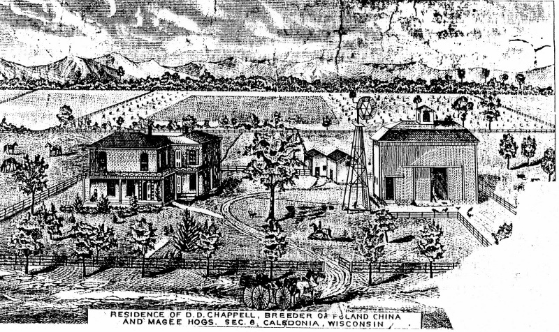
County Post Offices, Officials and populationArcadia SW Trempealeau River on the west boundaryArcadia NEArcadia NWAlbion–New Chicago would become Eleva. Hamlin was the main settlement with a hotel and school, located on the old stageline from Eau Claire.Dodge–created out of Town of TrempealeauCaledonia Farm of HannamsChappell Farm Caledonia